
Yellowstone Trilogy, Part Two
A Map of Yellowstone
A map holds more than geographic data; it reveals how we conceptualize the natural world.
Text and Photos by David Krohne
I am in love with maps. And I have a lot of them. They document my history and my dreams.
Some, like the thirty maps of the Noatak River in Alaska, have my trip journal on the back. Others are marked with stellar campsites, portage details, river fords, and other information I recorded in case, in the hope, that I would return. The untraveled maps are pristine, like the country I imagine they depict. The summit pyramid of Mt. St. Elias glistens with fresh untracked snow. The Thelon River, as it nears the Arctic Ocean, divides a herd of a hundred thousand caribou.
One of my most cherished maps is an old topographic map of Yellowstone. It’s a composite of all the 15-minute topo maps of the park and so it contains both detail and context. It’s been along on my visits to the park for forty years. Its annotations are the journal I should have kept. And there are plenty of areas, small and large, where I’ve never set foot. This map is usually somewhere near the surface strata of things piled in my office, where it can fuel my daydreams.
A map holds more than geographic data; it reveals how we conceptualize the natural world. My Yellowstone map shows the sharp, linear boundaries of the park. As brilliant as the national park concept is, and as worthy as Yellowstone was to be the first, my map is a reminder of our 19th century ignorance. What ecosystem is square? Of course, in 1872 the word ecosystem had not been invented. It would be another 20 years until John Wesley Powell would tell us that west of the 100th meridian, the Jeffersonian grid system is useless. The only rational boundaries in that country, Powell would argue, are based on watersheds, no matter how convoluted that makes the borders of states, ranches, or parks. List the ecological threats to Yellowstone and almost every one is directly related to the mismatch between the park and its ecosystem boundaries.
A map can also be a talisman. Years ago, I had the honor of meeting Doug Peacock, environmentalist, grizzly expert, and the model for Edward Abbey’s character, Hayduke, in The Monkey Wrench Gang. Aptly, I met him in Yellowstone. Peacock did his tour in Viet Nam as a Green Beret, with a map of Yellowstone and the northern Rockies in his pocket. In his darkest moments in that hell, the map reminded him what he was living for. When he’d reached the limit of human emotional endurance, he tossed the map on the fire, caught a helicopter to Saigon, and went home. Within weeks he was in the Yellowstone backcountry where the land and his beloved grizzlies restored his sanity just as that map assured him they could.
The thin blue line of Slough Creek on my map flows through a convoluted topography of personal history. Long before my first visit to the park in the 1950s, Pete, my friend and mentor and the man who first taught me about fire and elk and wolves, led pack trips into the Northern Range from the Absarokas outside the park. I have pictures of him on Slough Creek with a creel full of 18” cutthroat trout. Pete was close to the Leopold family, especially Starker, who was one of my professors at Berkeley and the chair of the commission that recommended that Yellowstone be managed to preserve natural ecological processes. That philosophy set the stage for the return of wolves and the 1988 fires and my own professional connection to Yellowstone. In the 1920s Pete’s father, Frank, patrolled the Slough Creek country on horseback, carrying a Colt 45 and a Winchester. He was hunting for Frenchie Duret, the infamous poacher who took elk and grizzlies in the park north of the Lamar River. Frank never caught up with Frenchie but a grizzly did. His grave is just outside the park boundary. When I fish Slough Creek, I fish with ghosts.
I suppose it’s not surprising, then, that I gravitate to this corner of the park. The big fire of 1988 did not affect this country much and in the years immediately after, it was a respite from blackened ground and charred stumps.
One July I decided to hike the country west of Slough Creek to fill in the gap in my ramblings between Slough and the Black Canyon of the Yellowstone. My plan was to hike up Slough Creek to the first meadow, then leave the trail and head north and west toward Buffalo Creek. I carried a camera, a fly rod, and enough trail food for a lot of miles.

I left camp at first light and made the first meadow on Slough just at sunrise. There I left the trail and angled northwest toward Buffalo Creek, where, on cue, an old bull guarded the valley holding the creek. I sat down to wait for him to move on and reached for my map. Which was back in camp. Shit. But I had a compass, twelve more hours of daylight, and a feel for the topography. Somewhere north, and higher, was the park boundary. If the creeks began to flow north, I’d left the park and wandered into the Absarokas. As long as the water flowed south, I knew where the Lamar River and camp were. The wind was steady from the southwest and a few landmark peaks stood on the horizon.
I fished Buffalo Creek and found some small, naïve cutthroats who obviously hadn’t seen as many flies as the fish in Slough Creek. Remarkably, they were pure cutthroats, not hybrids with non-native rainbows, a rarity in the Lamar Valley in those days. I followed the creek north until a steep canyon pushed me to easier ground.

By afternoon, thunderheads began to build. But my sky was blue and I hoped they were local pop-ups. I crossed a few small creeks, trickles really, much too small for fish. A pair of sandhill cranes and their colt probed the mud of a drying pond. At a water break, a pronghorn antelope popped over a little rise to our mutual surprise. I was thrilled; he was not.
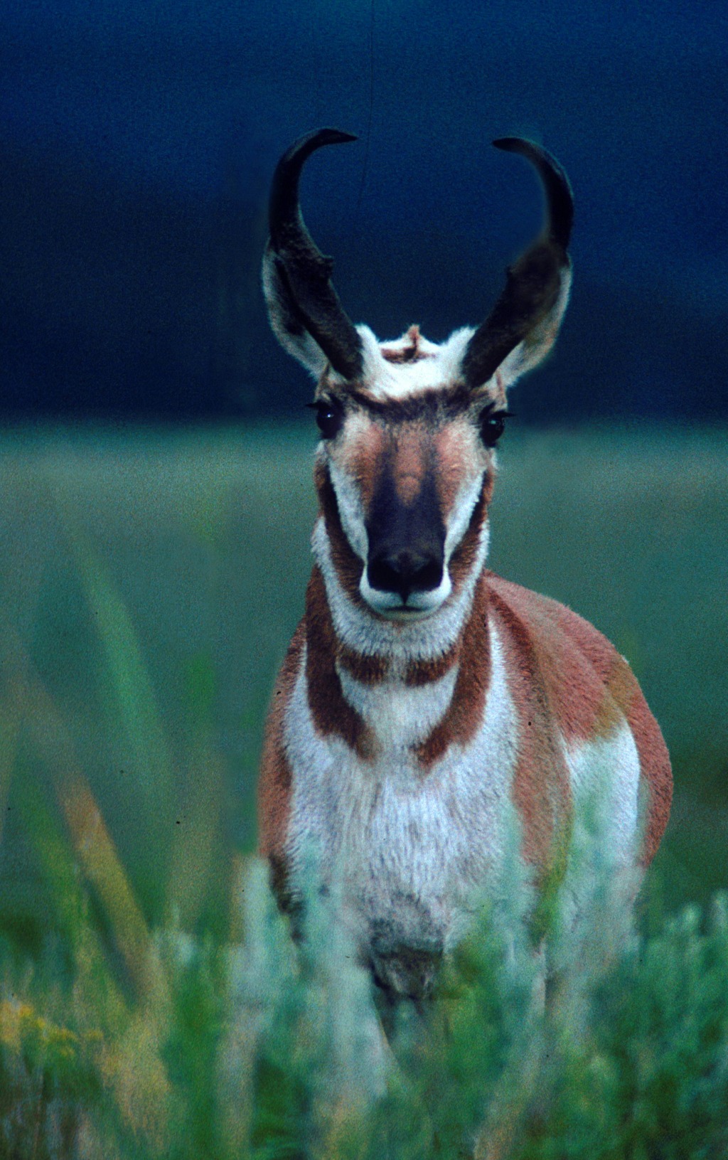
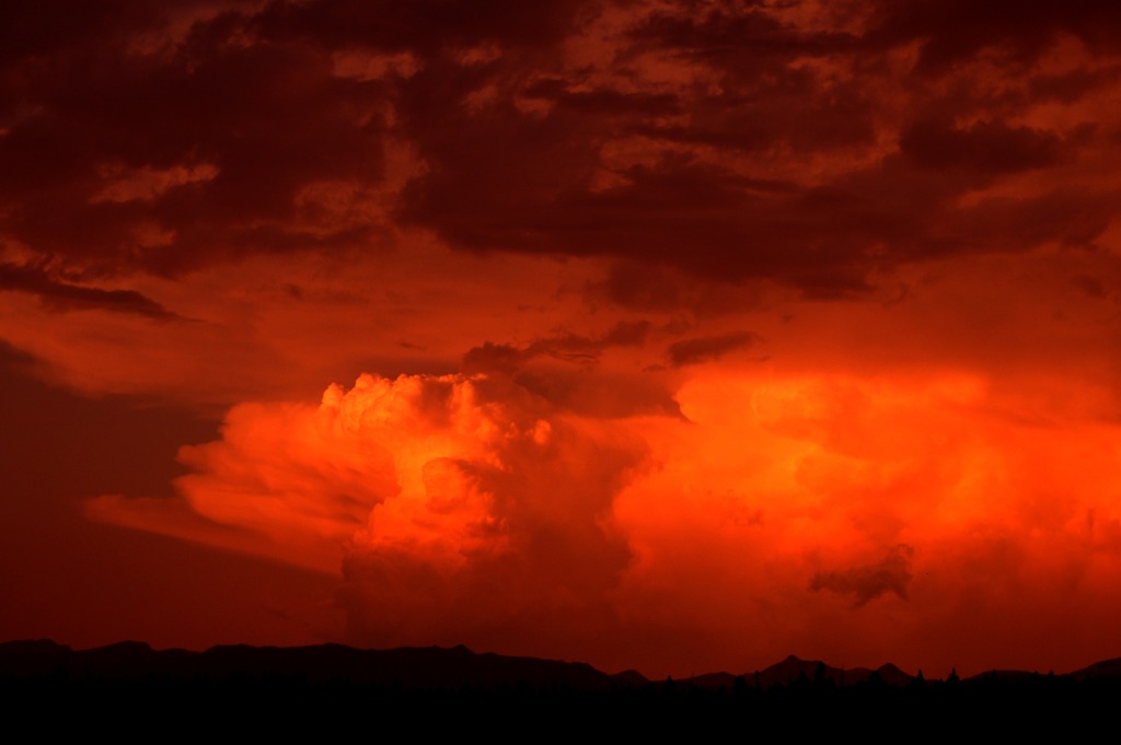
By late afternoon I was as far north and as high as I wanted to be. I could see the lip of the Black Canyon of the Yellowstone to the west; I’d filled in the gap between Slough and the Canyon. I found a little south-flowing drainage to follow that I was sure would eventually cut the road. By evening, thunderstorms were pounding the peaks south of the Lamar but drawing no closer to me. Glowing thunderheads lit the last gully down to the road. Every dark, rounded boulder had me reflexively reaching for my bear spray. I was pleased to find the road in its proper place but a little wistful that pavement marked the end of a glorious day.
I love my maps, especially that old, cracked, smudged map of Yellowstone. On it I can read my history there and I can still try to imagine the things I’ve never seen—the view from Two Ocean Plateau in the Thoroughfare or Gallatin Lake, where the Gallatin River begins its journey to Three Forks and the Missouri.
But the section of the Northern Range, west of Slough Creek and hard up on the park boundary, looks different to me now. The lesson of that ramble, so many years ago now, was that the map is not the land. The land is the prevailing wind and the angle of the shadows and the shape of the ridgelines and the rise of thunderheads. It’s the contours of the vegetation and the paths the animals take. And if you let them, these things can guide you as surely as any map ever made.